Research across the Habsburg lands
Explore regional studies of witch trials, magical offences, judicial practice and historical sources. Select a highlighted research area on the historical map or choose from the directory below.
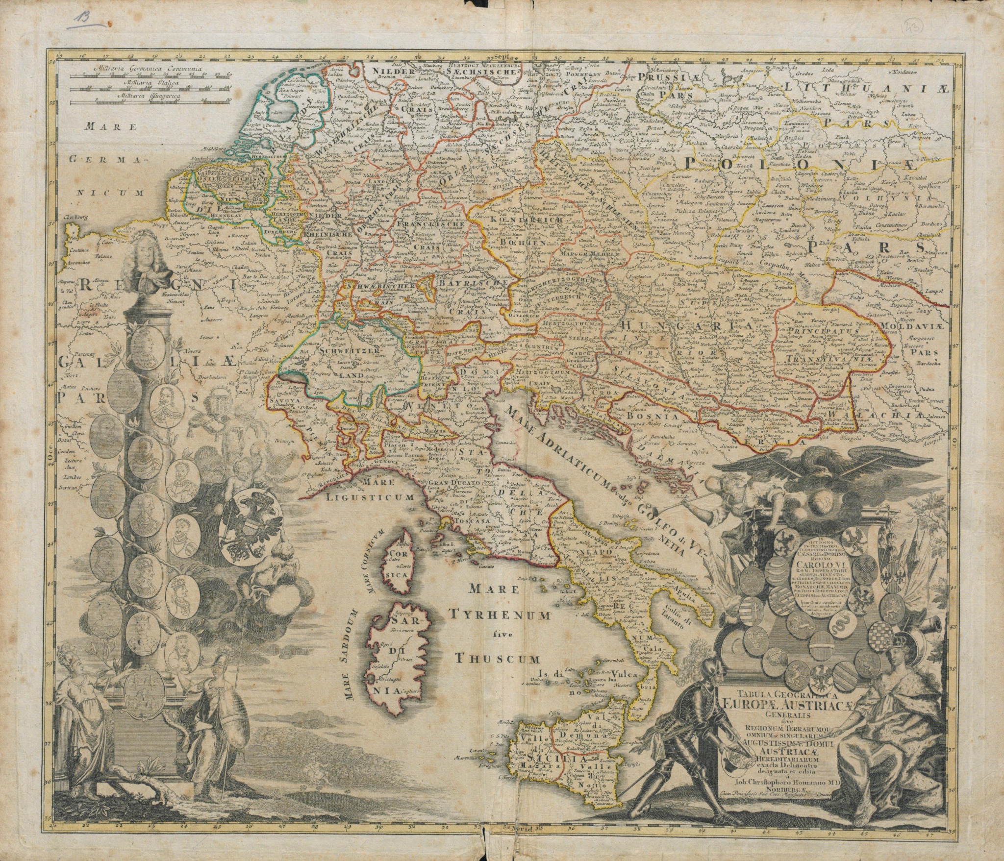
The map is an original eighteenth-century cartographic representation, not a modern georeferenced boundary dataset. The Northern Croatia label is an approximate thematic entry point, not a historical boundary polygon. Zoom with the buttons, and drag the image to explore; select other regions from the directory below. No marker should be interpreted as an exact administrative border.
Northern Croatia
Regional witch trials, estate jurisdiction, archival documents
Explore region →Research areaKingdom of Hungary
Criminal justice and witchcraft prosecutions
Explore region →Research areaBohemia & Moravia
Comparison across legal and scholarly traditions
Explore region →Research areaAustrian Lands
Regional legal and cultural histories
Explore region →Research areaStyria & Carniola
Inner Austrian case studies and comparisons
Explore region →Research areaTransylvania
Magic, courts and religious communities
Explore region →Research areaGalicia
Borderland society and imperial governance
Explore region →Research areaMilitary Frontier
Habsburg frontier institutions and practices
Explore region →